Clock map
Next.jsTailwindTypeScript
Summary
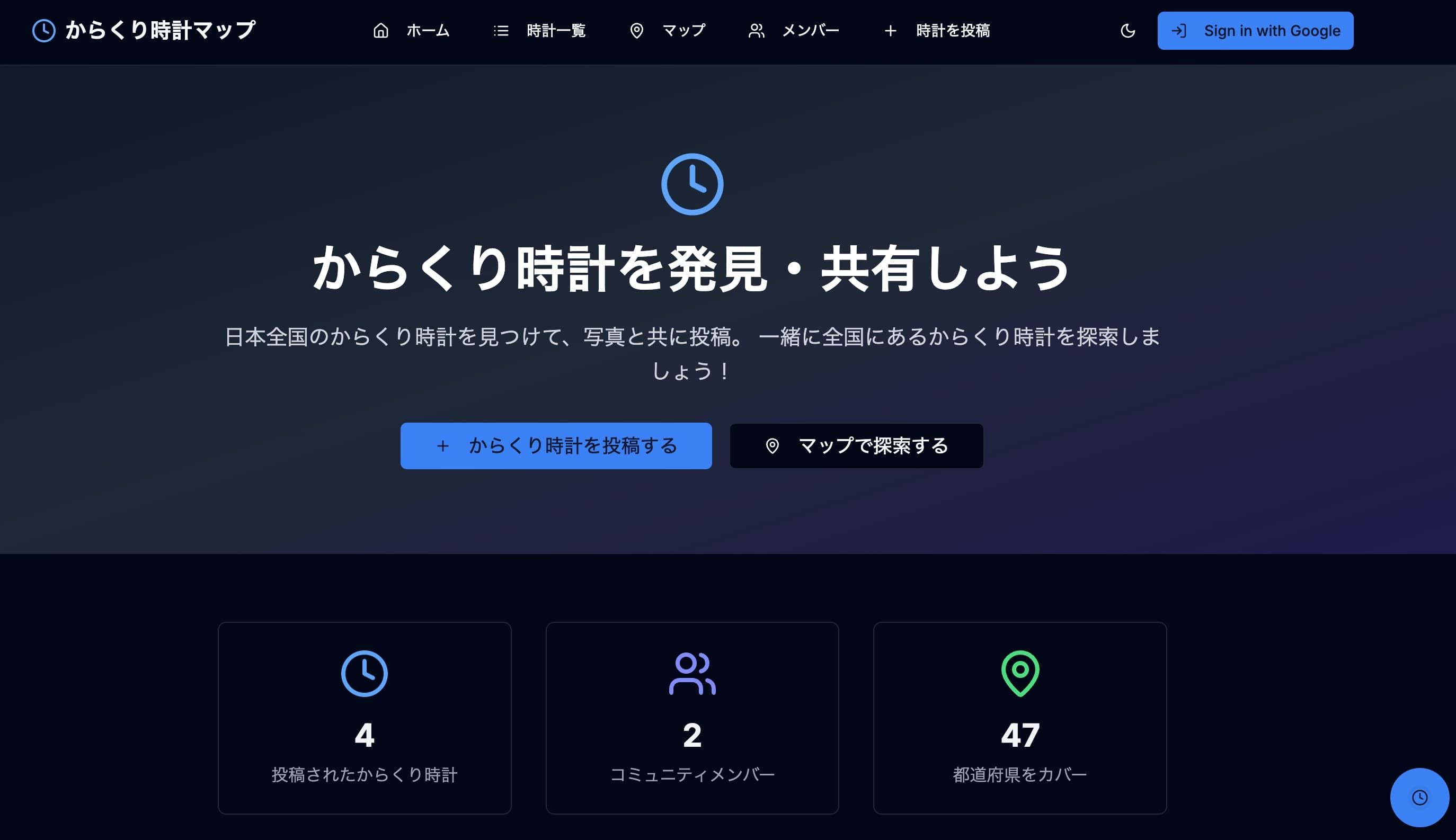
Karakuri-Tokei.com is a community-driven web application dedicated to automaton clock (Karakuri Tokei) enthusiasts. The platform allows users to discover, share, and archive the locations and details of these unique timepieces across Japan. By integrating map-based visualization with user contributions, it serves as a comprehensive digital encyclopedia for automaton clock fans.
Features

- Interactive Map Search: Users can visually explore the locations of automaton clocks using an integrated Google Maps interface.
- User Contribution System: Registered users can post information, photos, and specific location data for new clocks they discover.
- User Authentication: A secure login system allows users to manage their profiles, track their posts, and interact with the community.
- Detailed Clock Profiles: Each entry includes descriptions, performance schedules, and precise geographic data.
The Most Difficult Part
The most challenging aspect of this project was synchronizing user-submitted location data with the Google Maps API. Unlike static maps, this application required a dynamic system where addresses or coordinates provided by users in their posts had to be accurately converted and rendered as interactive markers on the map in real-time. Ensuring data consistency between the database and the map interface while maintaining a smooth user experience was a significant technical hurdle.
How to Solve the Problems
To overcome this, I implemented the Google Maps JavaScript API alongside a robust backend logic for data validation.
- Geocoding Integration: I integrated a geocoding process that converts user-inputted addresses into precise latitude and longitude coordinates before storing them in the database.
- Asynchronous Rendering: I utilized asynchronous JavaScript to fetch and display markers, ensuring the map remains responsive even when loading a large number of data points.
- Authentication Logic: For the login feature, I implemented secure session management to ensure that only authorized users could contribute or edit location data, maintaining the integrity of the map's information.